AlgheroBeaches · Platges
Beaches in Alghero
Riviera del Corallo · 40.56° N 8.32° E
Alghero faces west across a coast of white sand, limestone coves and pine-backed dunes. The town beaches start where the promenade ends; the wilder ones run north along the Coral Riviera, and the sea stays warm long after the season does.
Photo Efrem Efre / Pexels
The sea today
Partly cloudy
- Air
- 29°
- Water
- 25.6°
- Wind · Ponente (W)
- 7 kn
- Waves
- 0.3 m
Readings for the bay of Alghero, refreshed every half hour. The arrow points the way the wind blows, and the line above carries today's wave height. Wind in knots · 1 kn ≈ 1.85 km/h. Data: Open-Meteo
Nine beaches · 45 km of coast
Where to swim
Nine beaches along the Coral Riviera, from the sand at the end of the promenade to the turquoise lagoon of La Pelosa, an hour up the coast.
- In town · Lungomare Barcellona
Spiaggia di San Giovanni
The town's own beach
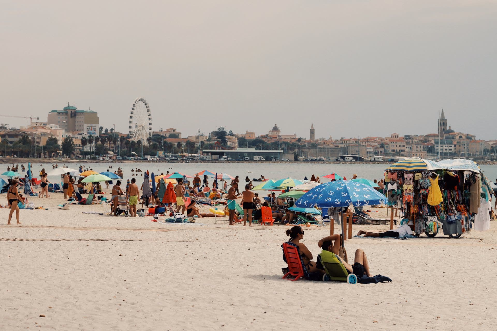
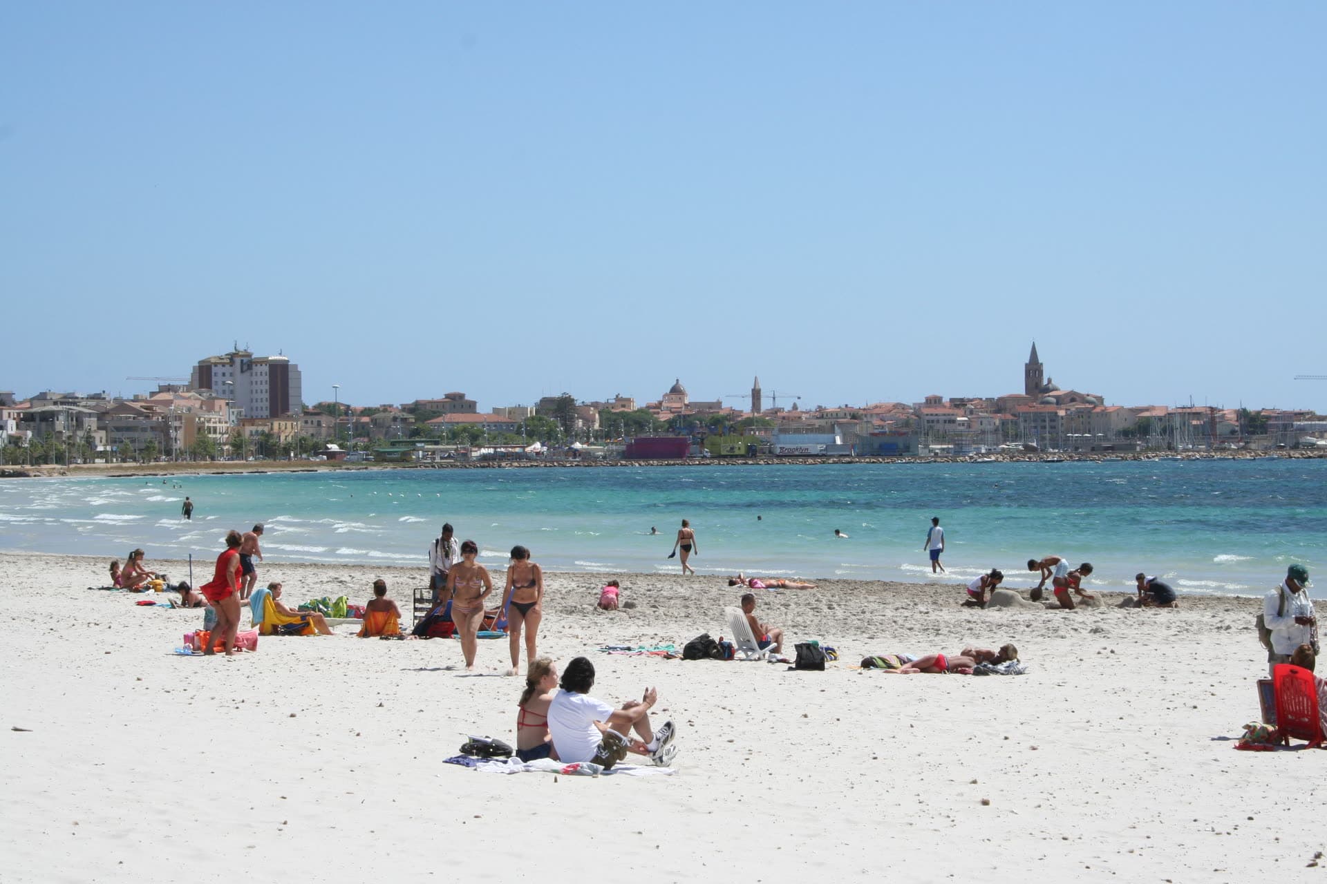
Alghero's beach starts where the tourist harbour ends and runs north for about three kilometres. Bathing establishments on the sand, a palm-lined promenade behind it, the old town on the skyline.
Good for
- A ten-minute walk from the old town
- Shallow water and soft sand
- Loungers, bars, showers and a cycle path
Keep in mind
- The busiest sand in July and August
- A town beach, not a wild one
More about this beach
The sand starts just past the tourist harbour and runs roughly 3 km north, first as Spiaggia di San Giovanni, then into the dunes and pines of Maria Pia and on towards Fertilia. Behind it the Lungomare Barcellona carries a palm-lined walk and a cycle path back to the walls, so the beach doubles as the town's evening promenade. The seabed shelves gently, and Capo Caccia closes the view to the west.
- Sand
- Light and fine, about 3 km of it
- Water
- Shallow, gently shelving, calm most days
- Getting there
- On foot or by bike from the old town, 10–20 min
- ≈ 4 km · AlgheroA little further out
Spiaggia di Maria Pia
Dunes and pine shade
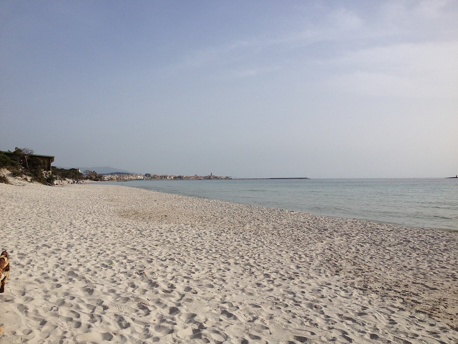
A long band of fine white sand backed by dunes and a planted pine grove, the next stretch north of the town beach. Shallow water, room to spread out, and shade behind the sand when the afternoon gets hot.
Good for
- Shade in the pine grove
- Shallow water and soft sand for families
- Bars, loungers and parking
Keep in mind
- A few kilometres out — bus, bike or car
- Fills up in high summer
More about this beach
Maria Pia picks up where the town beach ends, and here the sand widens into low dunes held together by juniper and a belt of planted pines. The dunes carry sea daffodil (Pancratium maritimum), which flowers white into late summer — it survives the season only where people stay on the marked paths. The water is shallow a long way out, and the pines make this the coolest patch of sand at two in the afternoon.
- Sand
- Fine and white, dunes behind it
- Water
- Shallow, gently shelving
- Getting there
- ≈ 4 km north — bus, bike or car
- ≈ 1 km · Lungomare Valencia
Spiaggia di Las Tronas
The cove under the villa
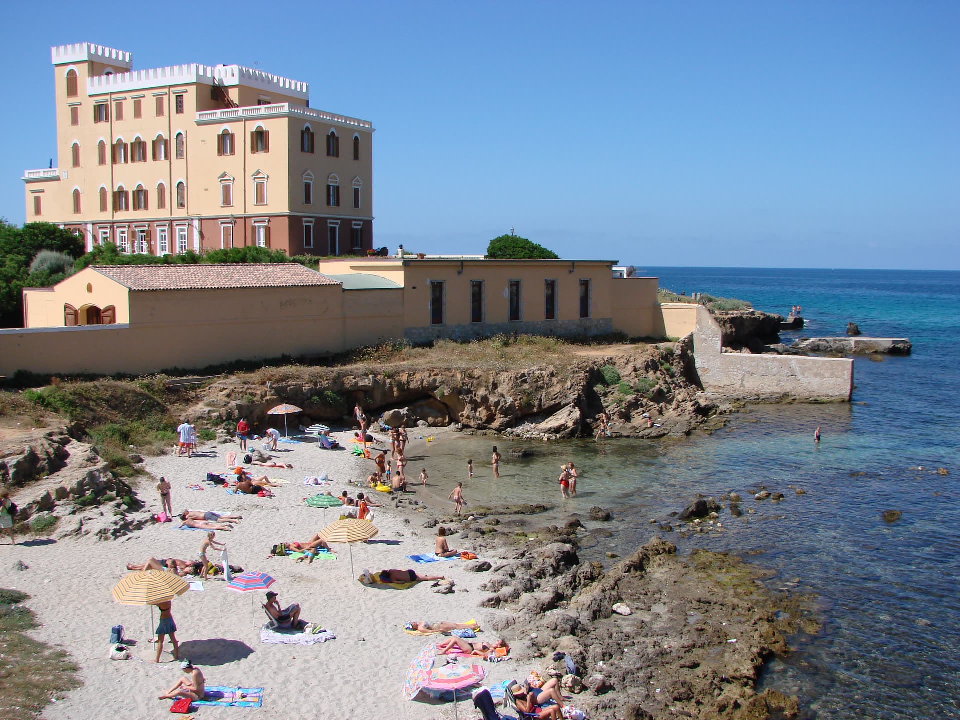
A short arc of sand and flat rock under the turrets of Villa Las Tronas, a walk south of the walls along the Lungomare Valencia. Small, sheltered, shallow at the edge.
Good for
- Ten minutes on foot from the old town
- Clear, shallow water between the rocks
- Bars, loungers and diving on the doorstep
Keep in mind
- Small — it fills up on a summer afternoon
- More rock than sand; parking is limited
More about this beach
The beach takes its name from two cylindrical rocks shaped like thrones, and the promontory splits it in two: the sandy side, and a second bay that is mostly flat rock plus a concrete platform laid to make more room. The turreted villa above went up around 1880 on the ruins of a watchtower, served as the summer retreat of Victor Emmanuel III and Queen Elena until the 1940s, and has been a hotel since 1961. Strips of sand, rock ledges, and water that shifts between green and blue.
- Sand
- Strips of sand between flat rocks
- Water
- Shallow at the edge, green to blue
- Getting there
- ≈ 1 km south along the Lungomare Valencia
- ≈ 9 km · Fertilia
Spiaggia di Punta Negra
A cove past Fertilia
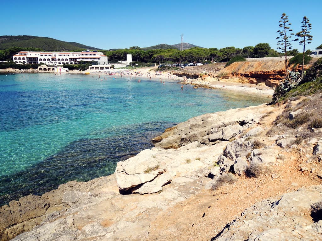
A small bay on the Punta Negra headland just beyond Fertilia: pale sand between limestone ledges, clear shallow water, pines and macchia behind.
Good for
- Clear, shallow water in a sheltered cove
- Rock ledges to swim from
- Quieter than the long sandy beaches
Keep in mind
- Small — a cove, not a kilometre of sand
- You'll want a car; few services
More about this beach
Punta Negra sits on the headland between Fertilia and Le Bombarde, where the coast breaks into low limestone ledges and the sand arrives in strips rather than kilometres. The water inside the cove is shallow and unusually clear — good for a swim with a mask — and the rock on either side does the sheltering that dunes do further north. It is the nearest swim to Fertilia, the 1930s grid of streets a couple of kilometres back down the road.
- Sand
- Strips of pale sand between rock
- Water
- Clear and shallow inside the cove
- Getting there
- ≈ 9 km — car; just outside Fertilia
LinksMapSardegnaTurismo
- ≈ 10 km
Spiaggia delle Bombarde
A kilometre of open sand
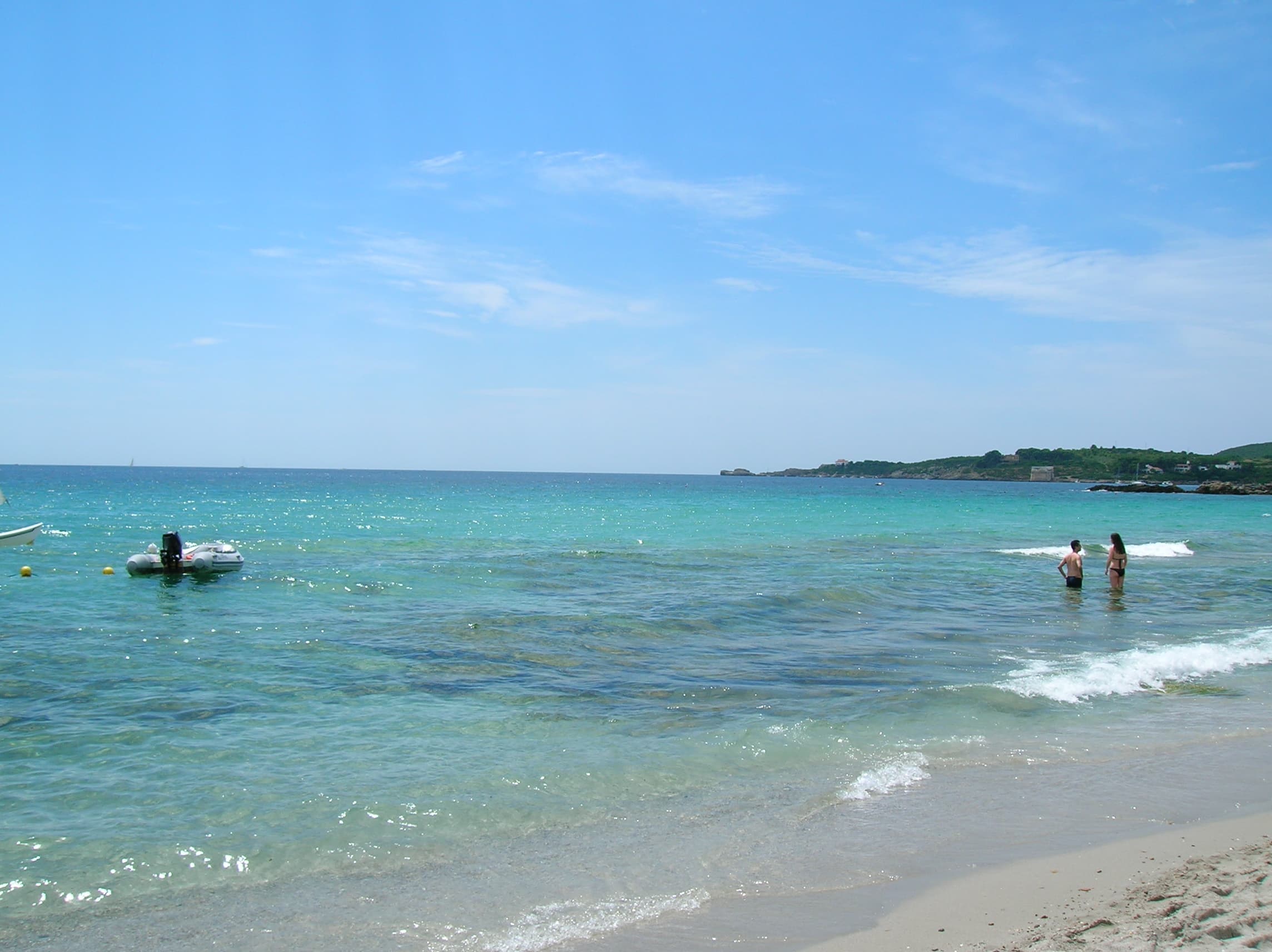
Nearly a kilometre of fine, light sand with a hint of ochre, closed at both ends by reddish rock and backed by pine and eucalyptus inside the Porto Conte park.
Good for
- Room for everyone — the longest sand out here
- Beach clubs, bar, restaurant and parking
- Diving and windsurfing
Keep in mind
- The seabed drops away a few metres from the shore
- Busy in August; ten kilometres from town
More about this beach
Le Bombarde runs for nearly a kilometre, ten kilometres north of the old town and three from Fertilia, with reddish rock closing it at both ends and a wood of maritime pine, eucalyptus and macchia behind — all of it inside the Porto Conte regional park. It is the one beach on this list where the seabed drops away just a few metres from the water's edge, so it swims deep rather than shallow: fine for confident swimmers, worth knowing before you send the children in. Beach clubs, a campsite, a bar and a restaurant sit at the northern end, and the Nuraghe Palmavera is a couple of minutes away by car.
- Sand
- Fine and light with a hint of ochre, ~1 km
- Water
- Deepens fast a few metres out
- Getting there
- ≈ 10 km — car, or the summer bus
- ≈ 13 km
Spiaggia del Lazzaretto
A run of turquoise coves
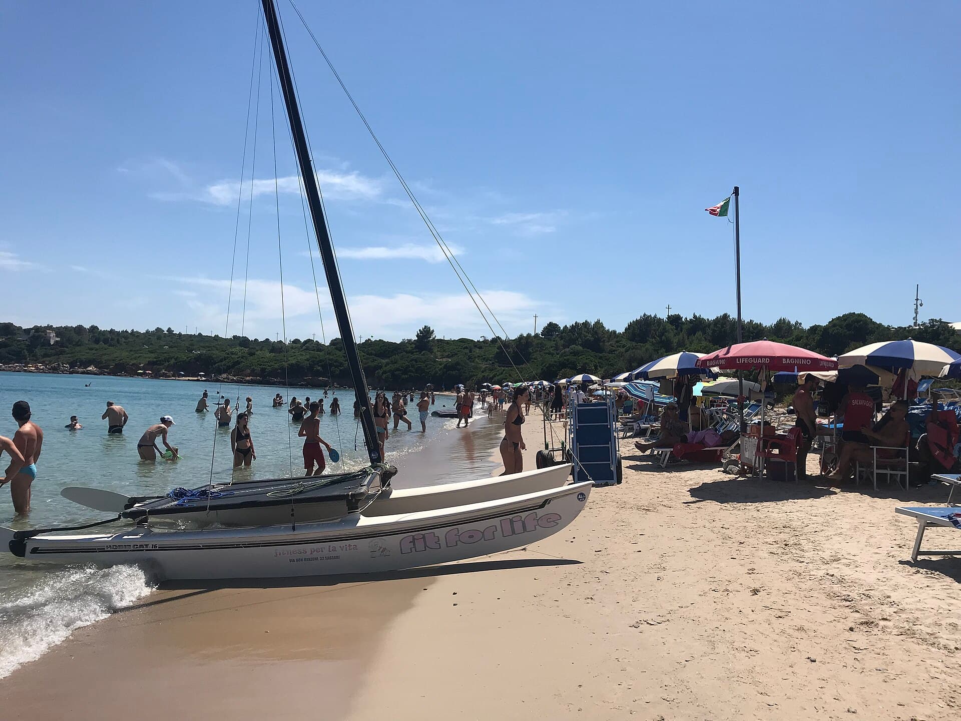
A handful of small coves with clear, calm water, right beside the popular Le Bombarde. Sheltered and shallow — good for snorkelling.
Good for
- Clear, calm, shallow water
- Sheltered coves and pretty scenery
- Bus service in summer
Keep in mind
- Small — it fills up fast in peak season
- Paid parking and limited space
More about this beach
The Lazzaretto coves sit just past Fertilia, next to the larger Le Bombarde, under the low headland that carries the old quarantine building the beach is named after. Rock ledges either side of the sand and clear, shallow water make this the best snorkelling within a short drive of town. The flip side is size: by mid-morning in August the parking is full and the coves are shoulder to shoulder.
- Sand
- Small coves, coarse pale sand
- Water
- Clear, calm, shallow — good for snorkelling
- Getting there
- ≈ 13 km — car, or the summer bus
- ≈ 14 km · Porto Conte
Spiaggia di Mugoni
The sheltered bay
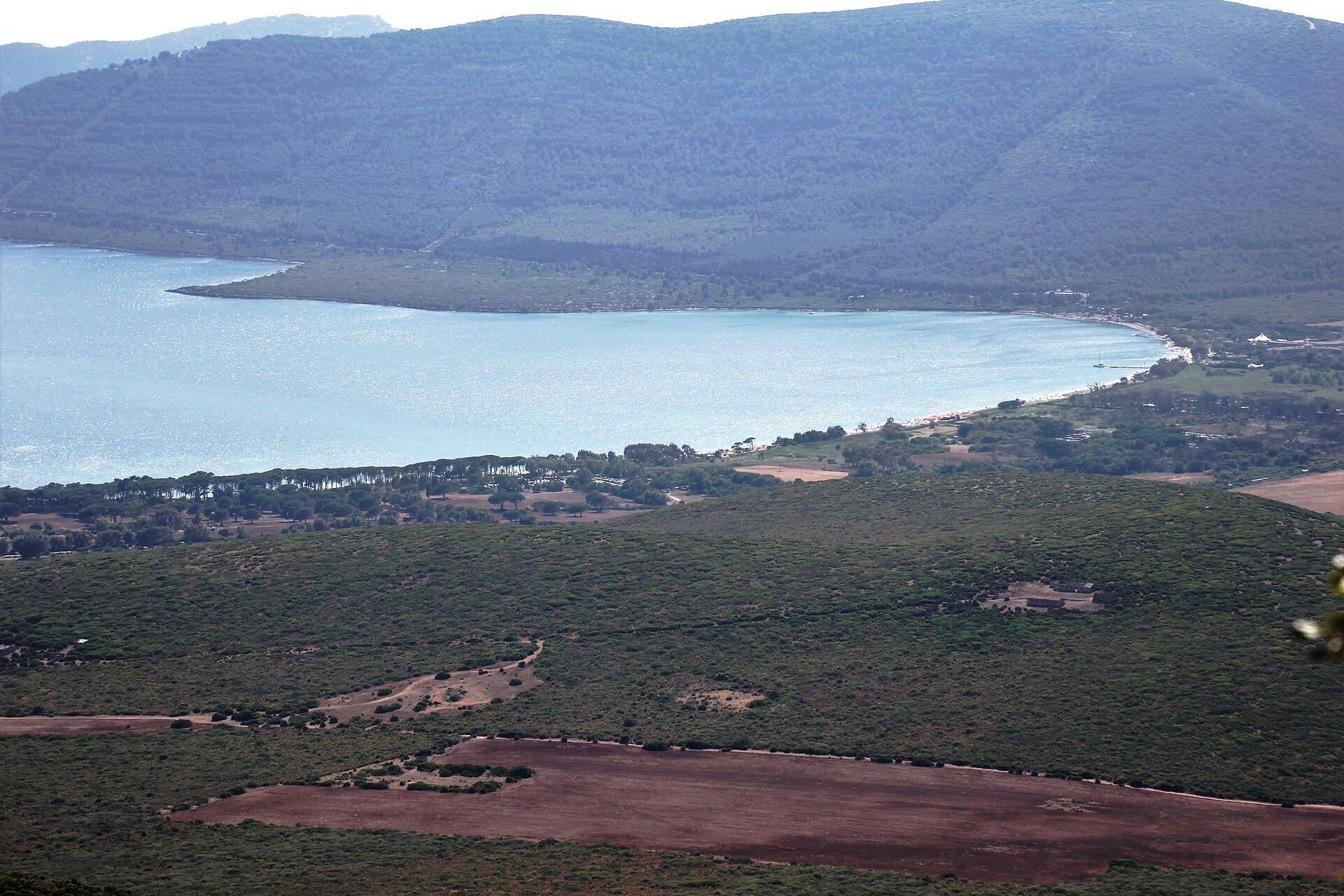
A long arc of sand along the calm Porto Conte bay, fringed by pine woods — some of the most sheltered water on the whole coast.
Good for
- Very calm, sheltered water
- Room to spread out along the bay
- Kids, paddleboarding and sailing
Keep in mind
- Further around the bay — a car helps
- Fewer services than the town beaches
More about this beach
Mugoni curves along the inside of Porto Conte, the bay the Romans knew as Portus Nympharum. It is the one beach on this coast whose shelter is documented rather than guessed: when the maestrale blows from the north-west and the open coast turns rough, the water here stays flat. Pines run behind the sand, sailing and paddle schools work off the bay, and the whole thing sits inside the Porto Conte regional park.
- Sand
- Pale and fine, in one long arc
- Water
- Flat, and sheltered from the maestrale
- Getting there
- ≈ 14 km around the bay — car
- ≈ 15 km
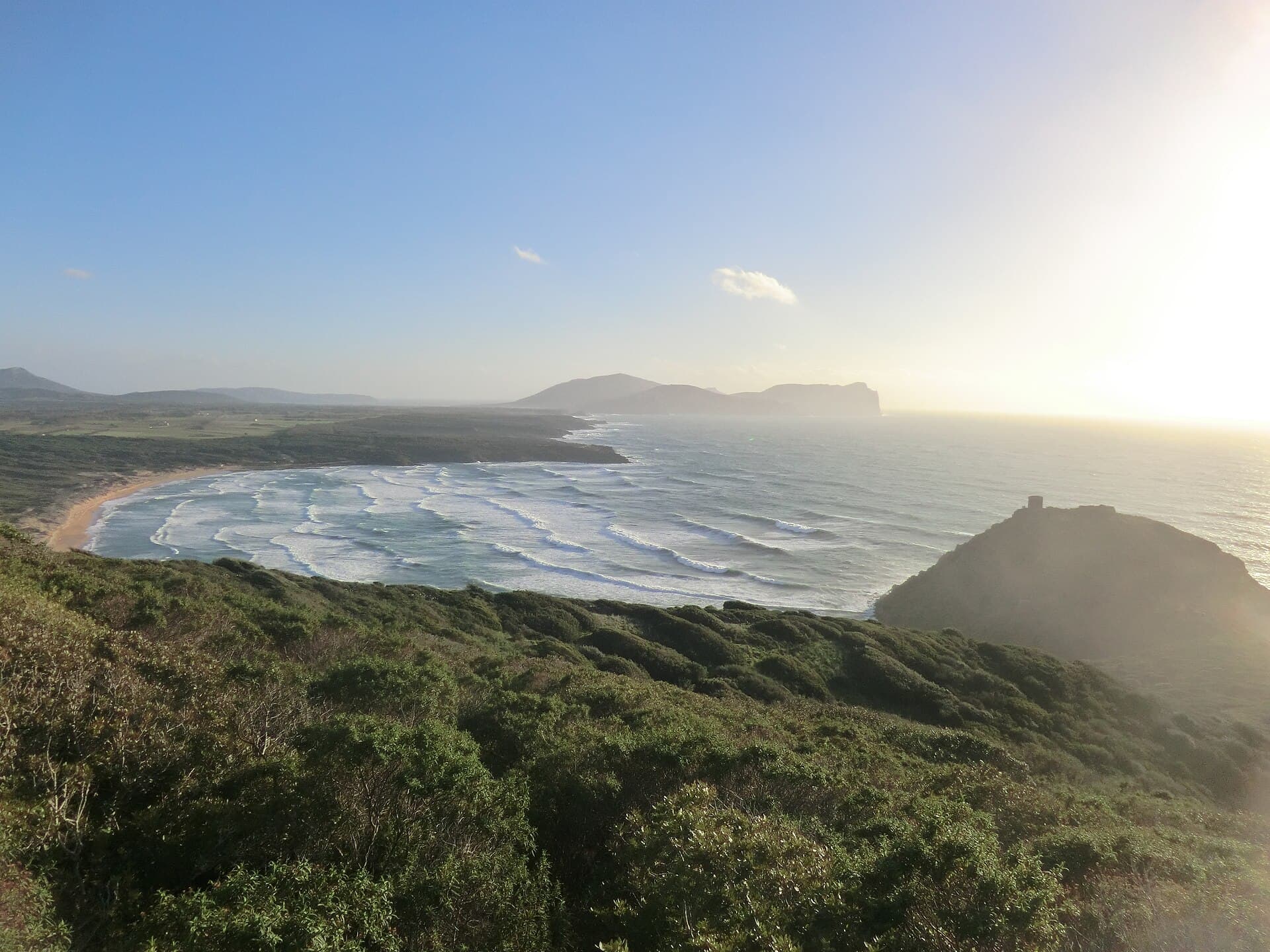
Spiaggia di Porto Ferro
The wild one
A wide, open beach of golden-red sand between two old watchtowers, exposed to the wind and swell. A favourite with surfers.
Good for
- Dramatic, uncrowded scenery
- Red-gold sand and long sunsets
- Waves for surfing and windsurfing
Keep in mind
- Wind and waves — not always calm for swimming
- Few facilities; you'll need a car
More about this beach
Porto Ferro is a wide, open beach of golden-red sand between two old watchtowers, backed by dunes and pine woods and left largely undeveloped. It faces west into the swell, which is why surfers and windsurfers use it — and why swimming here is a different proposition from the sheltered bays. There is no promenade and little shade, but the sunset runs straight down the length of the sand.
- Sand
- Golden-red, coarse, wide open
- Water
- Open to the swell — waves and current
- Getting there
- ≈ 15 km — car, then a walk over the dunes
LinksMapSardegnaTurismo
- ≈ 45 km · ~1 hDay trip — plan ahead
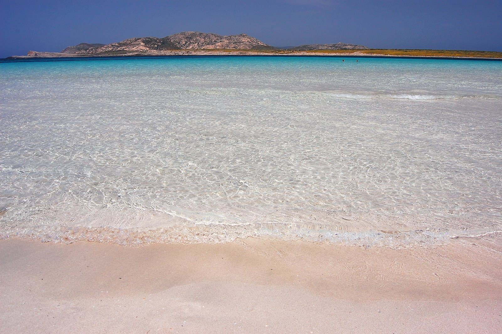
La Pelosa
Stintino's shallow lagoon
Often called Sardinia's most beautiful beach: powder-white sand and shallow, Caribbean-clear water below a 16th-century tower. Worth the trip — with a few strings attached.
Good for
- Extraordinarily clear, shallow water
- The iconic tower-and-island view
- Powder-fine white sand
Keep in mind
- About an hour's drive from Alghero
- Summer access is capped and ticketed — book ahead (≈ €3.50, 8:00–18:00, 15 May – 15 Oct)
- Pricey parking and big crowds
More about this beach
La Pelosa sits at the tip of Sardinia's north-western horn, an hour up the coast, and the shallow water that made it famous is also why it is now rationed: 1,500 people a day from 15 May to 15 October, €3.50 a head, booked in advance, a mat compulsory under your towel and a foot-rinse on the way out — all of it to stop the beach leaving grain by grain. The tower on the islet is a Spanish coastal watchtower, already listed as needing repairs in a document of 1578.
- Sand
- Powder-fine and white
- Water
- Knee-deep far out, Caribbean-clear
- Getting there
- ≈ 45 km · ~1 h by car; book access first
LinksMapspiaggialapelosa.itSardegnaTurismoLive camera · SkylineWebcams
Live cameras open on their operators' own sites. We link out instead of embedding them, so no third-party player loads on this page unless you ask for it.
Photos jimmyroq, Benoît Prieur, Gianfranco Mariano, blizejdalej, Silvia Franceschetti, Benoît Prieur, tristanf, Patrik Pacut, Tommie Hansen / Wikimedia Commons · Flickr, CC0 / CC BY / CC BY-SA