AlgheroDay trips · Excursions
Beyond the city
Fora de la ciutat · 40.56° N 8.32° E
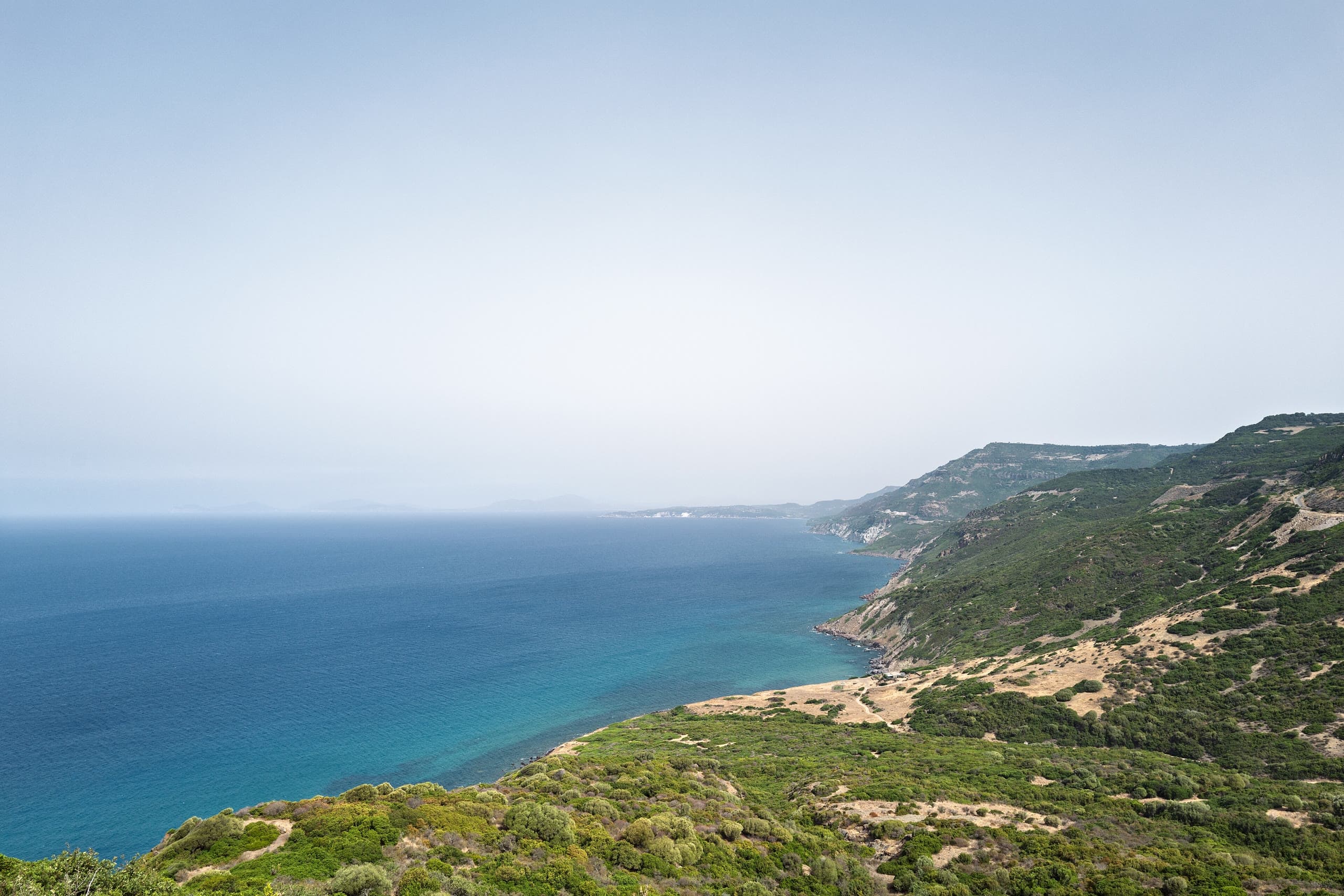
Alghero sits at the corner of an island, which makes it a good base: within an hour's drive there are Roman bridges, prehistoric towers, an abandoned mining village on the sea, and one of the great coast roads in Italy. Eight trips, sorted by how far you have to go.
Photo Giorgio Galeotti / Wikimedia Commons, CC BY-SA 4.0
How far you go
- Nuraghi, tombs and vines11 km
- Capo Caccia and Neptune's Grotto25 km
- Porto Torres37 km
- Sassari39 km
- Argentiera and the wild north-west40 km
- Bosa and the coast road45 km
- Stintino and La Pelosa58 km
- Castelsardo70 km
Half a dayA full dayEach bar is the driving distance from Alghero. Pick one to jump to it.
01Day trip
Nuraghi, tombs and vines
La Nurra
- Distance
- 11 km
- Driving time
- 17 min
- Allow
- Half a day
The shortest trip on this page barely leaves town. Within a quarter of an hour of the walls, on the limestone plain of the Nurra, there is a Bronze Age tower, a prehistoric necropolis cut into rock, and the estate that grows a white grape planted almost nowhere else. You can do all three in a morning and be back on the beach by two.
- 1
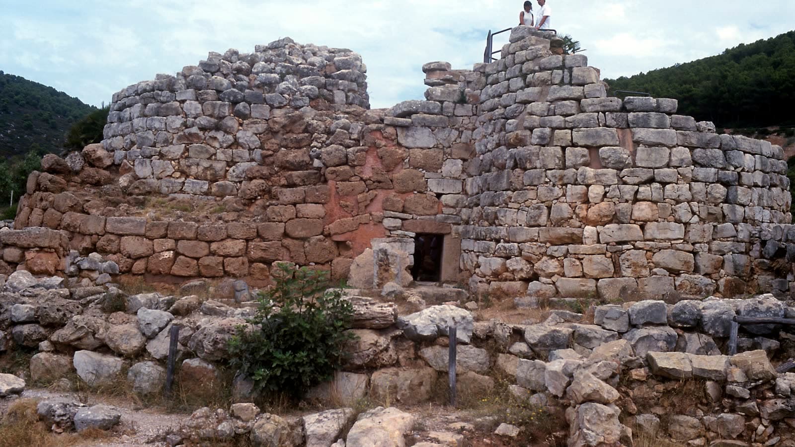
Nuraghe Palmavera
The main tower goes back to the 15th–14th century BC, with a village around it. In the meeting hut stands a sandstone model of a nuraghe — a building shown inside the building. The site burned and was abandoned around the 8th century BC.
- 2
Necropoli di Anghelu Ruju
Thirty-eight domus de janas, tombs cut into the rock between roughly 4000 and 1800 BC — the largest pre-nuragic necropolis on Sardinia. It was found by accident in 1903, during building work on the Sella & Mosca estate.
- 3
Sella & Mosca
The estate whose builders stumbled on the tombs, and the reason to ask for Torbato: a white grape brought over in the Catalan-Aragonese period and now grown on fewer than a hundred hectares, almost all of them here.
- 4
Le Bombarde or Lazzaretto
Both beaches are a few minutes further west, so the loop ends in the water. Le Bombarde shelves steeply a few metres out; Lazzaretto is the shallower of the two.
Before you goThe two archaeological sites are managed together and share a combined ticket with the Grotta di Nettuno — worth checking if you are also doing the Capo Caccia trip. Both are open-air with little shade, so go early. The cellars ask you to book a tasting ahead.
02Day trip
Capo Caccia and Neptune's Grotto
Cap de la Caça · Coves de Neptú
- Distance
- 25 km
- Driving time
- 38 min
- Allow
- Half a day
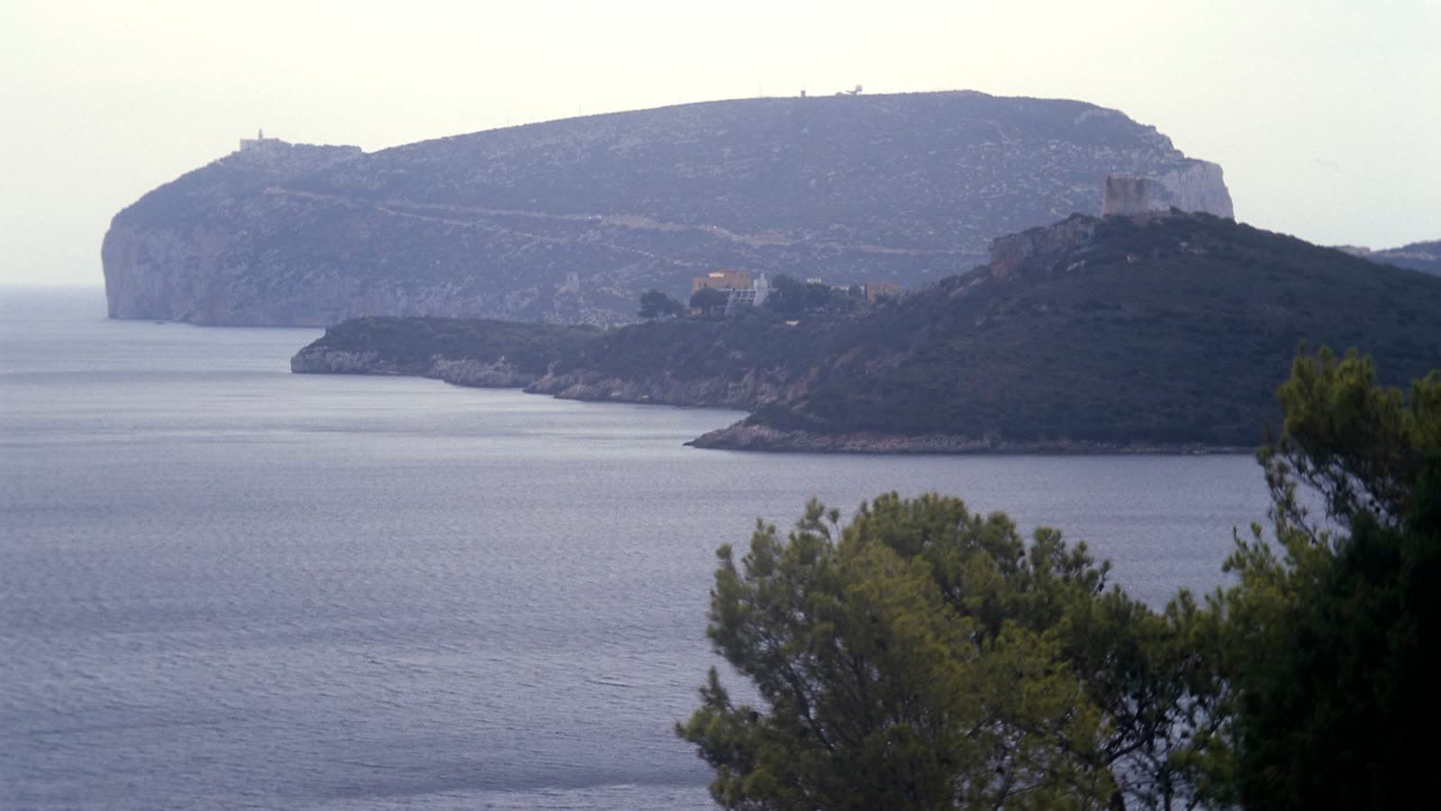
The headland that closes the bay of Porto Conte from the west, and the sea cave underneath it. This is the trip everyone makes, and it is worth the crowds: white limestone cliffs dropping straight into the water, a lighthouse at the top, and at the bottom a karst cave with a saltwater lake in it.
- 1
Escala del Cabirol
654 steps zigzagging 400 m down a rock face 119 m high, opened in 1954 to a design by Antoni Simon Mossa. Going down is easy; coming back up in August is not. The alternative is the boat from Alghero's port.
- 2
Grotta di Nettuno
The entrance is barely a metre above sea level. Inside is Lago Lamarmora, a saltwater lake about 100 m long and 9 m deep, and the Sala della Reggia, where the columns reach some nine metres. Visits run about half an hour.
- 3
The lighthouse and the cliffs
The road ends at a car park on top of the headland, with the lighthouse and a view down the whole west coast. Griffon vultures nest on these cliffs; the colony is one of the last in Sardinia.
- 4
Porto Conte
The bay behind the headland is a regional park and much calmer water than the open coast. Mugoni beach, on its inner shore, stays flat when the maestrale is blowing everywhere else.
Before you goThe cave closes when the sea is rough, and on 24 and 25 December — check before driving out. Entries are on the hour. If you would rather not do the steps, boats leave from the port in Alghero and the crossing is part of the trip; that was the only way in for about 150 years.
03Day trip
Porto Torres
Turris Libisonis
- Distance
- 37 km
- Driving time
- 39 min
- Allow
- Half a day
Forty minutes north, on the gulf of Asinara, sits the first Roman colony founded on Sardinia. Modern Porto Torres is an industrial port and makes no effort to charm anyone, which is precisely why the two things worth seeing here are still standing quietly in the middle of it.
- 1
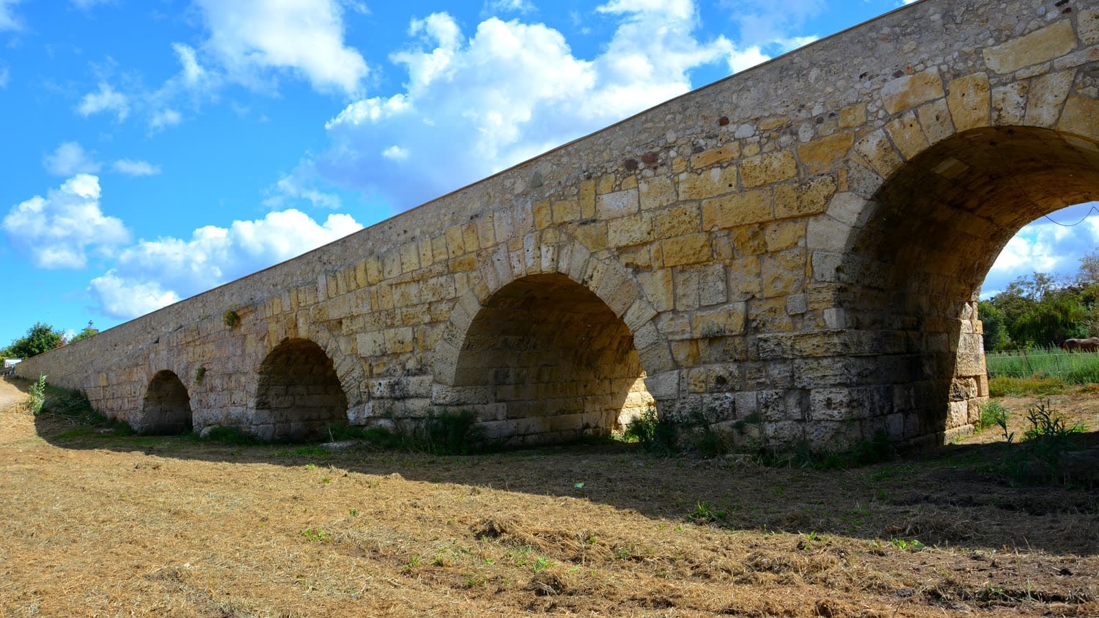
The Roman bridge
A hundred and thirty-five metres of limestone and trachyte on seven arches over the Rio Mannu, built for the road that ran south from the colony. The arches vary in span as the ground changes — a road engineer's solution, still legible.
- 2
Palazzo di Re Barbaro
The remains of a large thermal complex, part of the archaeological area of Turris Libisonis. The name comes from hagiography: Barbarus is the man said to have sent Gavino to his execution under Diocletian, in 304.
- 3
Basilica di San Gavino
One of the great Romanesque churches of Sardinia, and unusual in having an apse at both ends and no facade. Inside, the marble columns and capitals were taken from Roman and Byzantine buildings — the colony recycled into the church built over its martyrs.
- 4
The ferry to Asinara
Boats cross from here to Cala Reale in about an hour and a quarter. The island was a prison until 1998 and is now a national park, visited with a guide; the season runs April to October.
Before you goThe archaeological area and its antiquarium keep museum hours and close on Mondays in some seasons. If Asinara is the point of the trip, the shorter crossing is from Stintino to Fornelli — twenty minutes — which belongs to the Stintino trip further down this page.
04Day trip
Sassari
Tàttari
- Distance
- 39 km
- Driving time
- 38 min
- Allow
- Half a day
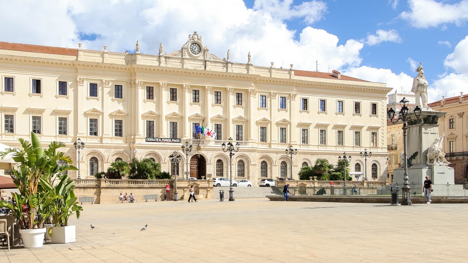
The second city of Sardinia, forty minutes inland, and a different animal from Alghero: no Catalan, no seafront, a university since 1562 and a dense, tall old town that most visitors drive straight past. Go for the museum and the squares, and if you can, go on 14 August.
- 1
Piazza d'Italia
The nineteenth-century heart of the city, arcaded on three sides, with the Palazzo della Provincia along one edge. It is where the Cavalcata Sarda ends in May and where the evening passeggiata still happens.
- 2
Museo Sanna
The archaeological museum for the whole north-west, and the place where the nuragic material makes sense as a civilisation rather than a pile of stones. Bronzetti, pottery, and finds from sites you may have walked around that morning.
- 3
Cattedrale di San Nicola
A Gothic core wrapped in an exuberant Baroque facade of the eighteenth century — statues, spirals and a rose window, squeezed into a narrow square where you cannot step back far enough to take it in.
- 4
Fontana di Rosello
A late-Renaissance fountain below the old town, fed by a spring that supplied Sassari for centuries. Twelve spouts, four seasons in stone, and a set of steps down to it that used to be the city's edge.
Before you goParking in the centre is hard; the ring road has paid car parks within a short walk. On 14 August the Faradda di li Candareri fills the old town and driving in is pointless — take the train from Alghero, which runs to Sassari in about half an hour.
05Day trip
Argentiera and the wild north-west
- Distance
- 40 km
- Driving time
- 69 min
- Allow
- A full day
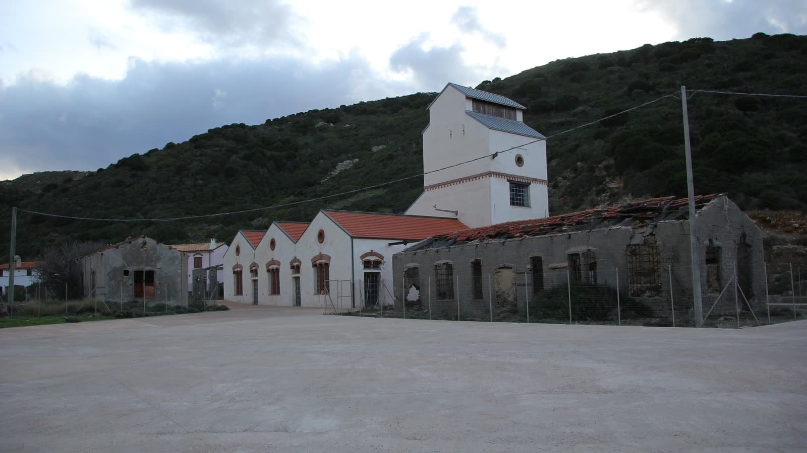
The least visited corner of this coast, and the strangest. Behind the dunes north of Alghero lies the only natural lake on Sardinia; beyond it, an abandoned silver-mining village stands on a beach, its wooden headframes still upright. The road is slow — allow more time than the distance suggests.
- 1
Lago di Baratz
Sardinia's only natural lake, separated from the sea by dunes up to thirty metres high. The lake and the dune system together are a protected site; a path runs round part of the shore through cork oak and juniper.
- 2
Porto Ferro
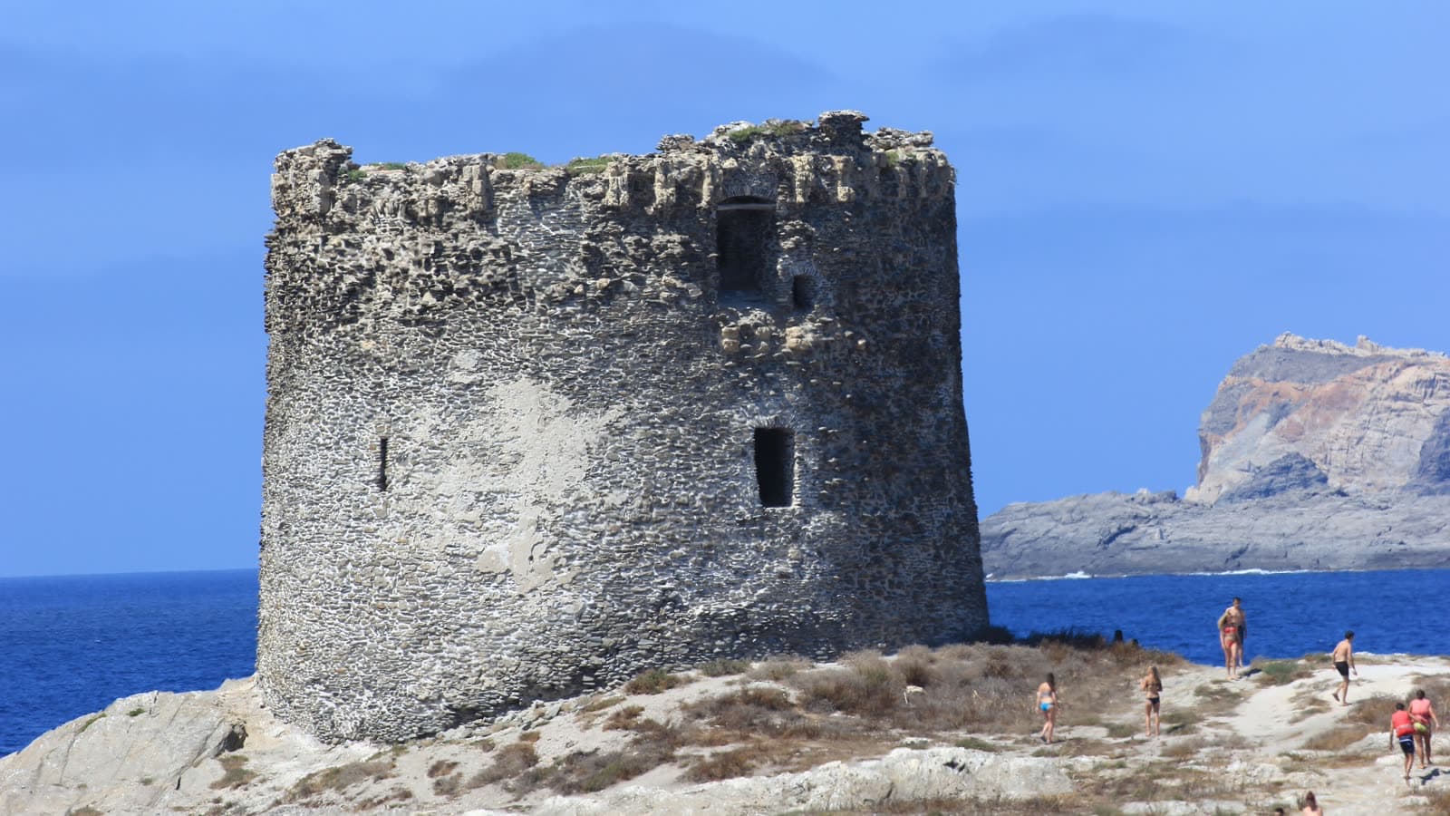
A long beach of reddish sand between two towers, backed by those dunes. It faces west and takes the swell, which is why surfers come here and why it is rarely crowded even in August.
- 3
Argentiera
Lead and argentiferous zinc were mined here from the end of the nineteenth century until 1962. What is left is a village of timber and stone on the sea — one of the more remarkable industrial-archaeology sites in Europe, now an open-air museum.
- 4
The washery
The restored laveria is the first room of the museum: historical photographs, lamps, picks, shovels and baskets, laid out where the ore was sorted. Above it the hillside is still cut by the galleries.
Before you goThe road to Argentiera is narrow and winding and takes over an hour despite the distance — do not plan it as a quick detour. There is little in the way of shops or fuel out there, so fill up in Alghero. The museum keeps seasonal hours and hosts events in summer.
06Day trip
Bosa and the coast road
Bosa · Sa Costa
- Distance
- 45 km
- Driving time
- 53 min
- Allow
- A full day
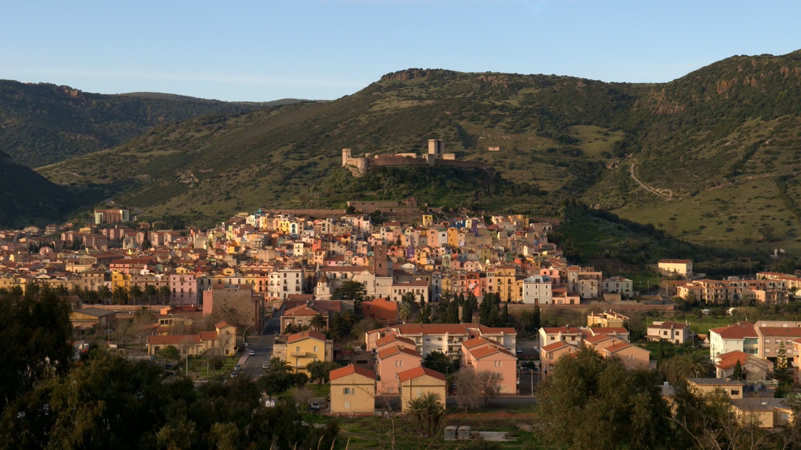
The drive matters as much as the destination. The coast road south from Alghero runs forty-odd kilometres with almost nothing on it — no villages, no petrol, just cliffs, macchia and the sea a long way below — and comes out at a town of coloured houses stacked under a castle on a river.
- 1
The road itself
Take the coastal SP 105 rather than the inland route: an hour and a quarter instead of fifty minutes, and worth every minute. Griffon vultures nest along these cliffs and are regularly seen from the pull-ins.
- 2
Sa Costa
The old quarter climbing the hill in ochre, pink and blue, with lanes too narrow for cars. In September the doorways and windows fill with small altars for the feast of Nostra Signora de Regnos Altos.
- 3
Castello Malaspina
Built from the twelfth century by the Malaspina family, above the town. In its chapel is a cycle of fourteenth-century frescoes, and it was in these ruins that the statuette behind the September feast was found in 1847.
- 4
The Temo and Sas Conzas
Bosa stands on the only navigable river in Sardinia. Along the far bank runs a row of old tanneries, Sas Conzas, now a monument to the trade that supported the town before tourism.
Before you goThe coast road has no fuel and little phone signal for long stretches — fill up before leaving Alghero. It is a genuinely winding road; if anyone in the car is prone to travel sickness, take the inland route one way. Bosa Marina, two kilometres downstream, has the beach.
07Day trip
Stintino and La Pelosa
- Distance
- 58 km
- Driving time
- 60 min
- Allow
- A full day
An hour north, at the tip of the peninsula that points at Asinara, is the beach everyone has seen a photograph of: white sand, water that shades from clear to turquoise, an Aragonese tower on an islet. It is also the most regulated beach in Sardinia, and going without reading the rules first is a way to waste a day.
- 1
La Pelosa
Shallow, luminous and small — which is the problem. From 15 May to 15 October access is capped at about 1,500 people a day and must be booked and paid for in advance on the official site.
- 2
Porto Vecchio
The narrow inlet the village grew around. At the end of August it fills with the lateen-rigged fleet for the regatta that has been run here since 1983 — the last boats in Italy to keep the rig.
- 3
MuT, the tuna museum
Stintino was founded on tuna fishing, and the museum in the old tonnara explains the mattanza and the sea culture that went with it. It is the answer to why a village exists out here at all.
- 4
Asinara
The ferry from Stintino reaches Fornelli in about twenty minutes. The island is a national park — former prison, white donkeys, no cars of your own — and is visited on foot, by bike or with a guided vehicle.
Before you goBook La Pelosa before you set out; there is no ticket office on the beach. A rigid mat under your towel is compulsory, and you must rinse your feet at the stations before leaving, so the sand stays on the beach. Outside the booking season the rules relax but the parking does not get easier.
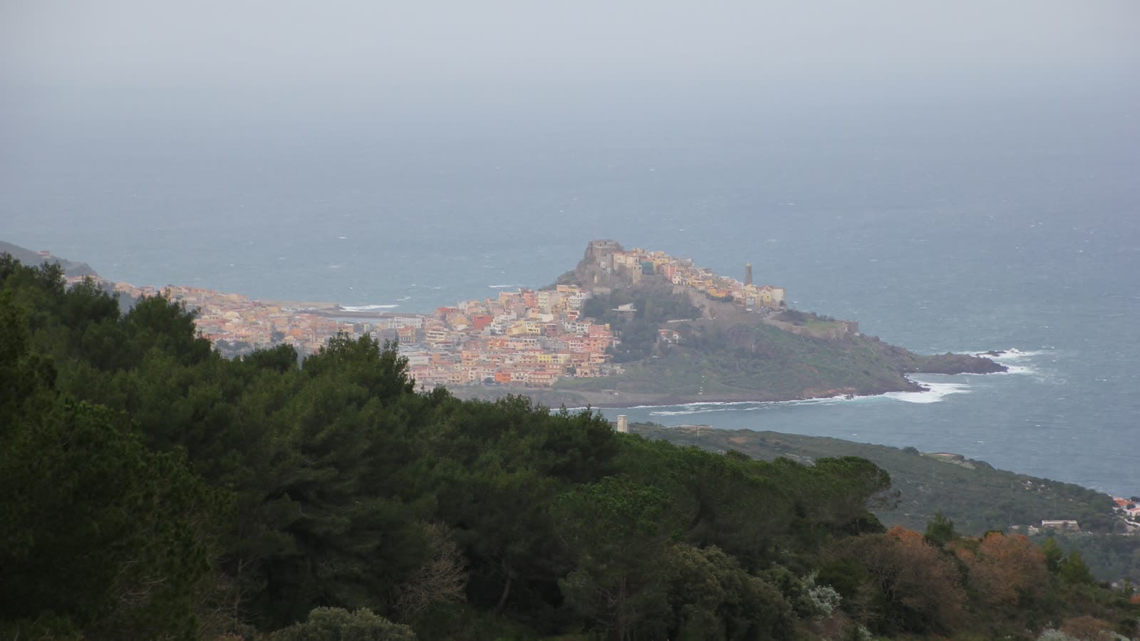
08Day trip
Castelsardo
- Distance
- 70 km
- Driving time
- 75 min
- Allow
- A full day
The furthest trip on this page, and the one that photographs best: a town piled on a rock over the sea, with a Doria castle on the summit and basket weavers still working in the doorways below it. An hour and a quarter each way, so treat it as a full day rather than an afternoon.
- 1
Castello dei Doria
Built in the twelfth century by the Genoese family who also founded Alghero. The climb through the lanes is steep; from the walls, on a clear day, the view runs along the coast as far as Corsica.
- 2
Museo dell'Intreccio Mediterraneo
Inside the castle, a museum of woven fibre — the craft Castelsardo is known for. Dwarf palm, asphodel and rush, worked into baskets across Sardinia and the wider Mediterranean.
- 3
The old town
Stepped lanes, the cathedral of Sant'Antonio Abate with its bell tower standing directly over the water, and the church of Santa Maria delle Grazie, from which the Lunissanti procession leaves in Holy Week.
- 4
Roccia dell'Elefante
On the road below the town, a block of trachyte weathered into the shape of an elephant, with domus de janas cut into it. It is a two-minute stop and an odd one — prehistory inside a rock that looks like a joke.
Before you goThe castle and museum keep seasonal hours and the last entry is well before closing. The old town is all steps and no cars; park below and walk up. If you are here in Holy Week, the Monday after Palm Sunday is Lunissanti, when the confraternities carry the Mysteries from dawn until night.
Distances and driving times are measured from the cathedral by the fastest road, so they are a floor, not a promise — in August the coast roads are slower. Opening hours and tickets change with the season; the official pages under each trip carry the current ones. A car makes all of this far easier: buses reach Sassari, Porto Torres and Bosa, but not the archaeological sites or Argentiera.
Photos Gianni Careddu, Falk2, Valentina.desantis, Dr. Thomas Liptak, Michal Osmenda, Giorgio Galeotti / Wikimedia Commons, CC BY / CC BY-SA