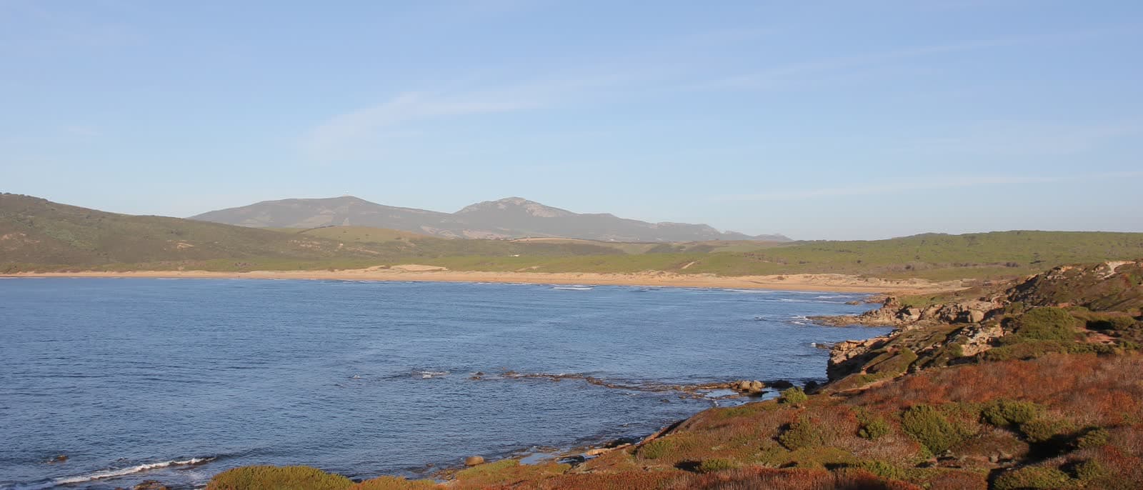
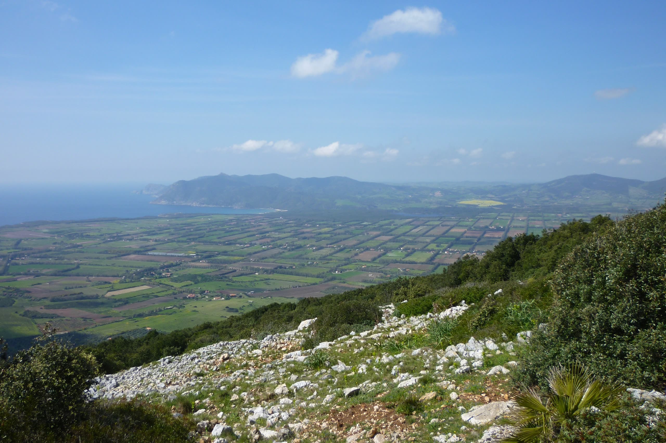
The Nurra plain seen from the slope of Monte Doglia: white limestone and maquis in the foreground, farmland below, the sea and a headland beyond.

AlgheroOn land · A terra

Alghero on land

A terra · 40.56° N 8.32° E

West of town the limestone comes out of the sea and stops at 432 metres. In between: a marked trail on every headland, fifty kilometres of cliff road, bolted routes to 8a, horses on the dunes at Porto Ferro, dirt tracks for quads and a ridge where the paragliders share the lift with the vultures.

Photo Gianni Careddu / Wikimedia Commons, CC BY-SA 3.0

Height

Nothing here is a mountain

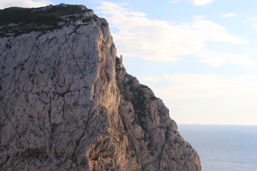
Four measured heights, and the highest is 432 metres. What makes this corner worth the boots is not altitude but where the rock begins: at Capo Caccia the wall comes 180 metres straight out of the water, which is why there are multi-pitch routes and a vulture colony twenty-four kilometres from a town built at sea level.

  1. 0 mThe townAlghero, its promenade and the cycle path that runs beside it are all at sea level, and the flat ground reaches inland as far as the airport.
  2. 80 mPunta GiglioThe headland that closes Porto Conte from the east. Low enough to be called a point rather than a cape, high enough for the Regia Marina to put a gun battery on top of it.
  3. 180 mCapo CacciaThe limestone promontory, with the lighthouse another six metres above that. The sport crag, the long routes and the griffon vultures all live on this one wall.
  4. 432 mMonte DogliaThe highest ground in the Nurra of Alghero, with an air-navigation radar on the summit and wartime bunkers on the way up. From here the whole plain is a single view.
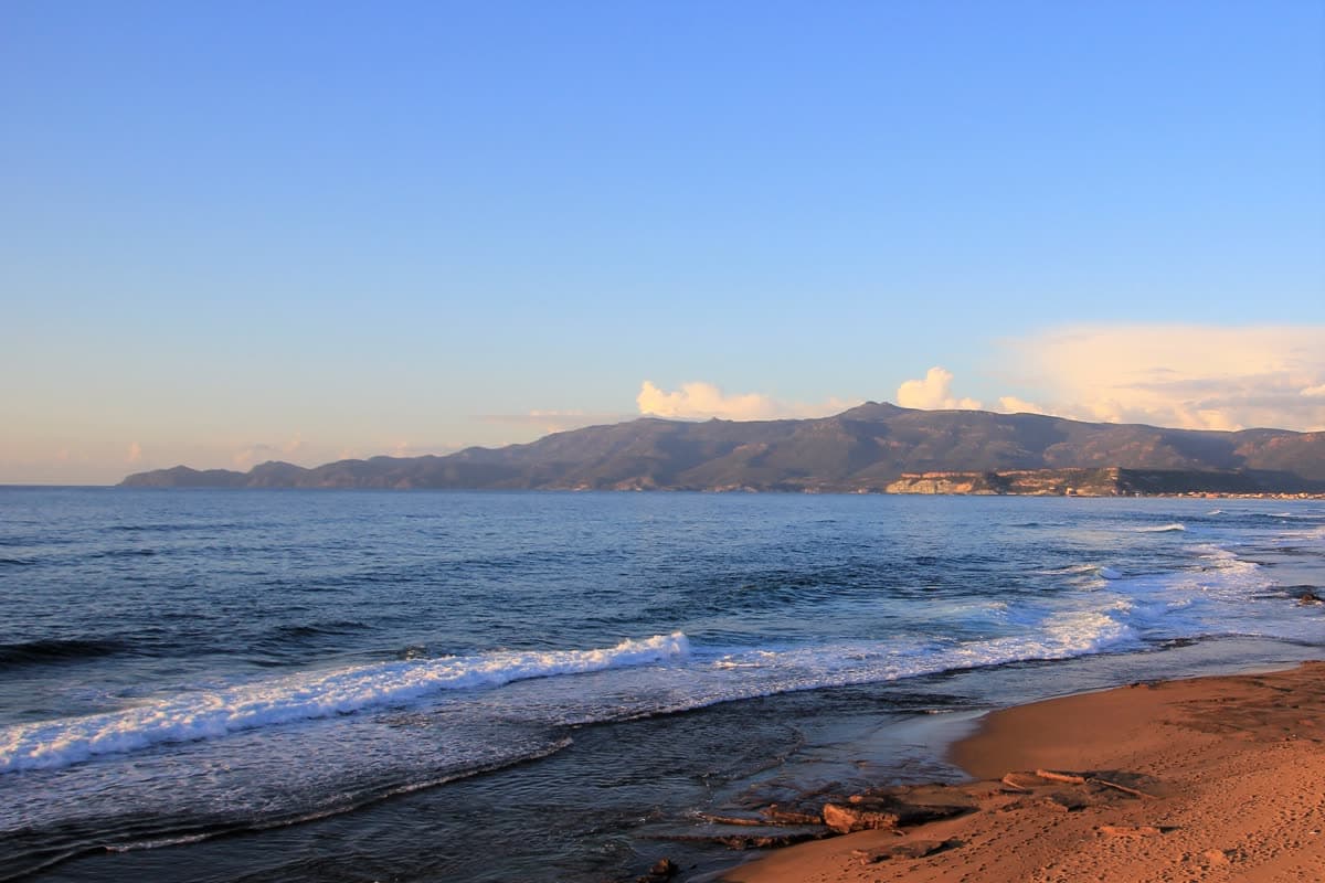
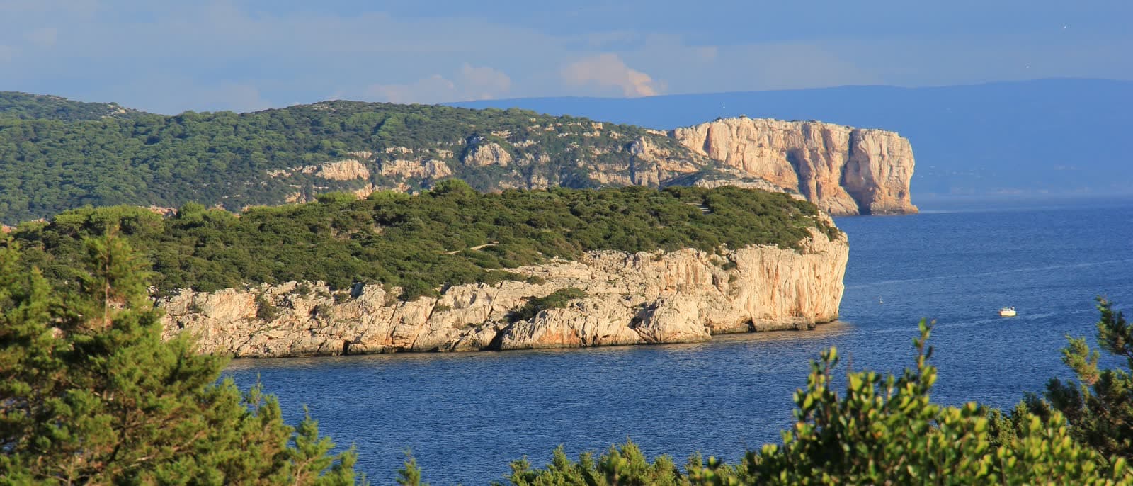
The green headland of Punta Giglio and the white cliff of Capo Galera above a calm sea.

Boots and gravel

On foot

Three walks and one thing to look up at. All of them sit inside the Porto Conte regional park or on its edge, all of them are waymarked, and none of them needs a guide. The season is the opposite of the beach season: the maquis is at its best between October and May, and in July it is simply hot.

  • Punta Giglio

    La Punta del Lliri

    Regional park

    Where
    12 km from town, on the east side of Porto Conte
    When
    All year; the ticket applies roughly April to October
    What you need
    Shoes with grip and water — there is none up there

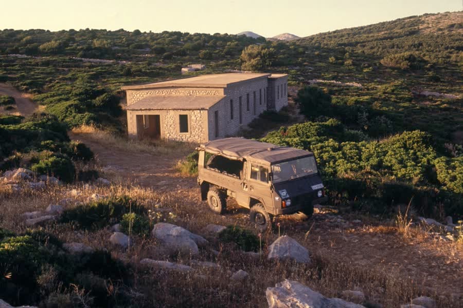
    A waymarked loop of a few hours around an 80-metre limestone headland, on wide paths with almost no climbing in them. Halfway round it stops being a nature walk: the Regia Marina built battery Sr. 413 up here between the wars, and the tunnels, gun positions and barracks are now an open-air museum. The view runs straight across the bay to Capo Caccia.

    The old barracks of the Sr. 413 battery on Punta Giglio, with a weathered off-road vehicle parked in front.
  • Monte Doglia

    Regional park

    Where
    9 km from town, above Fertilia and the airport
    When
    October to May; the last stretch has no shade
    What you need
    About three hours, and a hat for the top

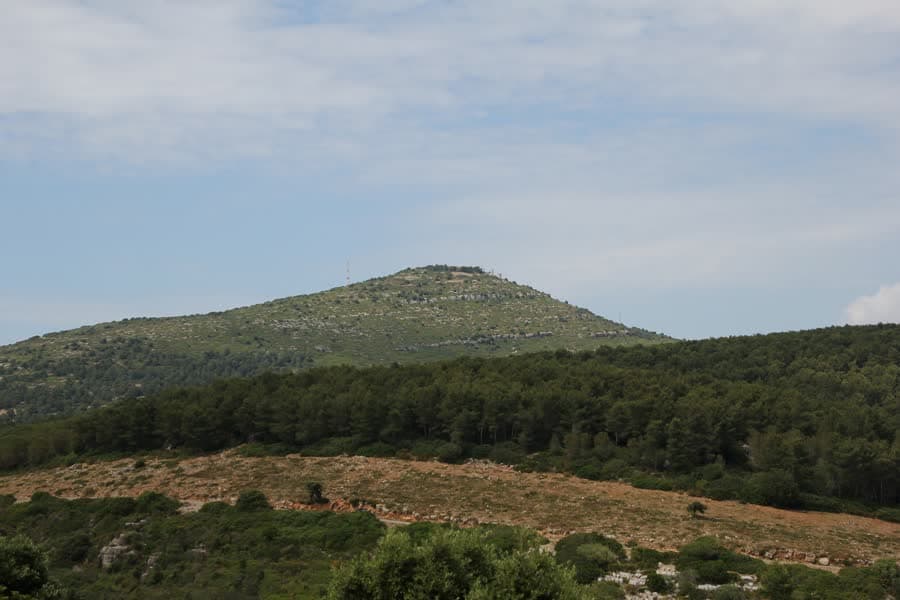
    At 432 metres this is the highest ground in the Nurra of Alghero, and the way up is a track rather than a path — steady, never steep, through lentisk and dwarf palm, with two swallow holes opening beside it. The summit carries an air-navigation radar and a scatter of wartime bunkers, and it takes in Porto Conte, Capo Caccia, Lake Baratz and the whole plain in one turn.

    The rounded summit of Monte Doglia above a dark belt of forest and maquis.
  • Le Prigionette

    Arca di Noè

    Regional park

    Where
    Inside the Porto Conte park, above Tramariglio
    When
    All year; the ticket applies roughly April to October
    What you need
    Walk it, or hire a bike or an electric vehicle at the gate

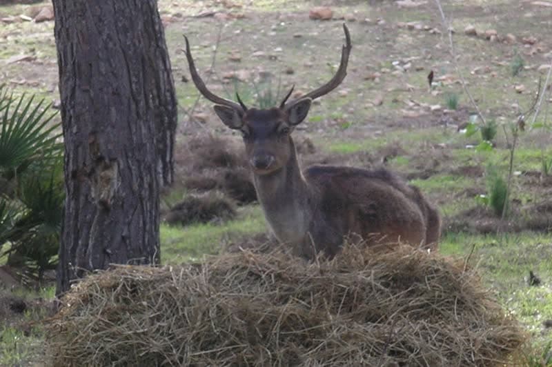
    A state forest whose name means the little prisons: a penal colony was built here in 1939 and the walls are still standing. It is better known by its nickname, Noah's Ark, because of what was released into it — fallow deer, Giara horses and the white donkeys of Asinara all run free between the pines. The easiest route is the marked track up to Monte Timidone, 361 metres, and down to Cala Barca.

    A fallow deer lying in dry grass under a pine in the Porto Conte reserve.
  • Griffon vultures

    Gyps fulvus

    Where
    The cliffs of Capo Caccia and the coast road to Bosa
    When
    All year; pairs are on the nests from December
    What you need
    Binoculars, patience and a pull-in on the SP 105

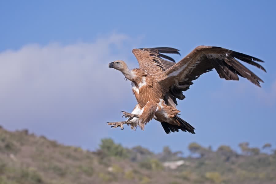
    Sardinia's griffons are the only naturally surviving colony in Italy and they live on this one stretch of coast. The LIFE Safe for Vultures census counted 516 to 566 birds on the island in 2025, a fifth more than the year before, with 120 territorial pairs — every one of them in the north-west. Most sit above Bosa, but nesting returned to the Porto Conte park after twenty years. With a wingspan of up to 2.7 metres, they do not have to be close to be obvious.

    A griffon vulture with wings fully spread, about to land.
  • Running the seafront

    Where
    The promenade from the bastions north towards Fertilia
    When
    All year, early or late; not at midday in summer
    What you need
    Nothing. It is flat and paved the whole way

    The seafront is one continuous paved strip, which makes route planning trivial: turn north at the bastions and keep the sea on your left until you have had enough. The town's own race, the Alghero Half Marathon, runs the same ground each autumn over 21.1 km, with a 10 km alongside it and a family run.

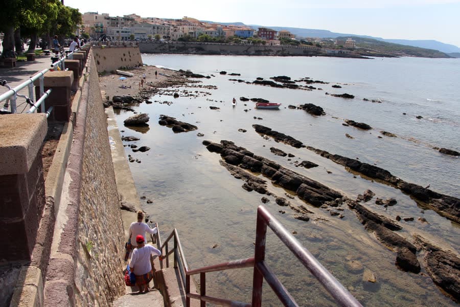
    The paved walkway behind the Colombo seafront in Alghero, with steps down to flat rock and the sea.
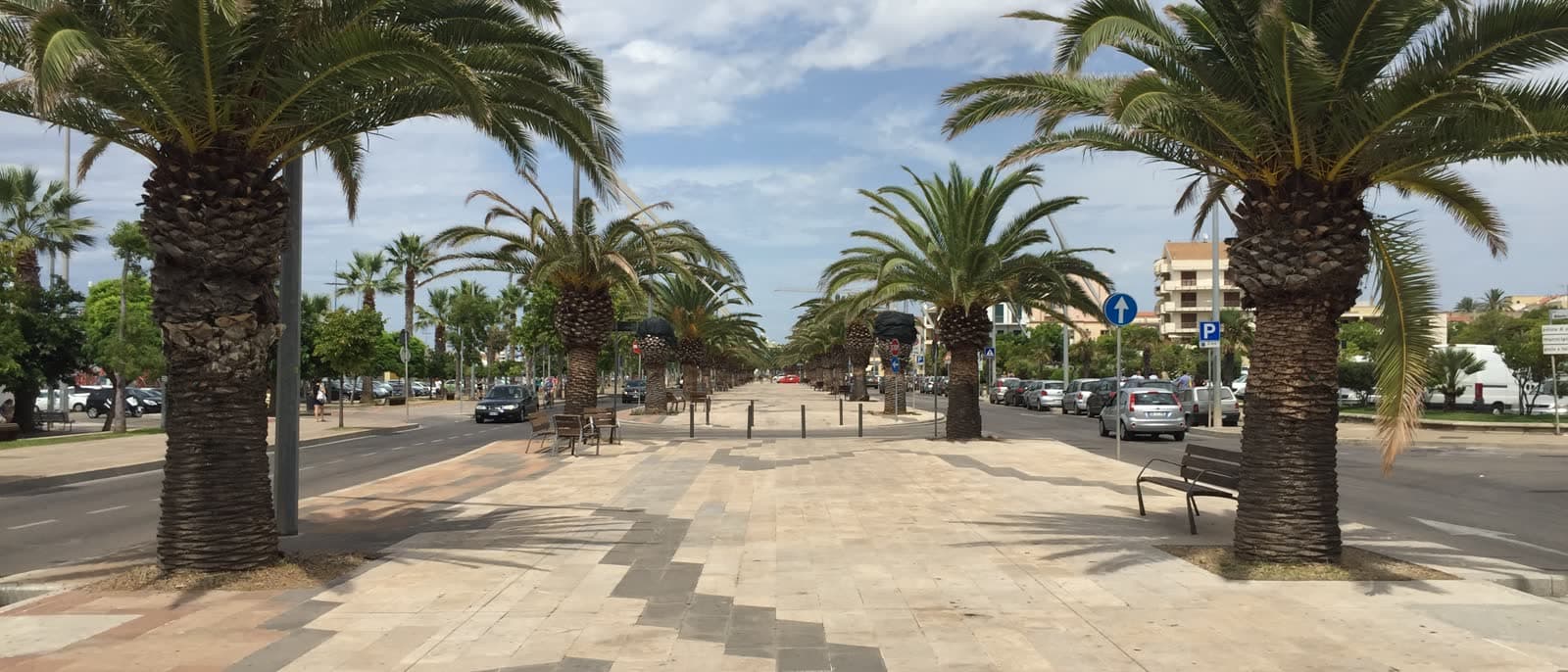
The palm-lined seafront promenade in Alghero, with the cycle path running along it.

Pedals and throttle

On two wheels

Alghero is flat, the coast road south is not, and the difference is the whole point. Eleven kilometres of seafront cycle path for a family afternoon; fifty kilometres of cliff road to Bosa for the day you want your legs to hurt. The hundredth Giro d'Italia started here.

  • The seafront cycle path

    Where
    Calabona to the Bombarde junction, through Fertilia
    When
    All year; flat the whole way
    What you need
    Any bike. Rentals and e-bikes are in town

    Eleven and a half kilometres of separated cycle path, from the southern edge of town to the turn-off for Le Bombarde inside the Porto Conte park. It is the easy option and the useful one: it links the old town, Maria Pia, the lagoon and Fertilia without ever putting you on the main road, and it is flat enough that an e-bike is a comfort rather than a requirement.

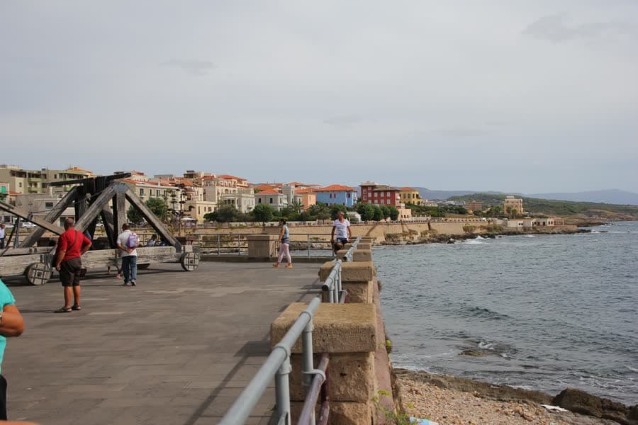
    People walking along the seafront promenade in Alghero, with the old town behind.
  • The coast road to Bosa

    SP 105

    Where
    South from Alghero, about 50 km to Bosa
    When
    March to June and September to November
    What you need
    Gears, water and no expectation of a shop

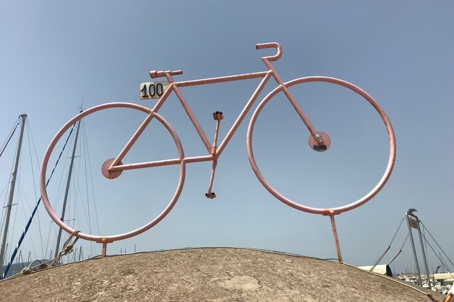
    One of the best-known road rides in Italy, and it earns it: fifty kilometres with the sea on one side and cork and holm oak on the other, nothing built in between, and a pair of climbs around Capo Marrargiu where griffons circle below the road. Alghero has form here — the hundredth Giro d'Italia started in the town on 5 May 2017, and stage one ran 206 km to Olbia.

    A pink sculpted bicycle marked 100 in Alghero, put up for the centenary Giro d'Italia.
  • Mountain biking in the park

    Regional park

    Where
    Fire roads and forest tracks around Porto Conte
    When
    October to May; the tracks are exposed
    What you need
    A bike with proper tyres, or hire one at Tramariglio

    The park is laced with fire roads and single track, and almost none of it is technical — the interest is in what you ride past. The standard circuit climbs the dirt road to Monte Timidone and drops to Cala Barca; the longer one runs out of town through the Arenosu pine wood, past the Palmavera nuraghe and the wartime forts, to Punta Giglio. The park's own hub at Tramariglio hires pedal-assist bikes.

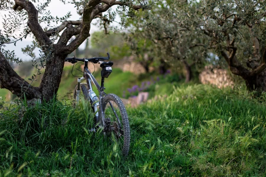
    A mountain bike leaning against a tree in an olive grove.
  • By motorbike or scooter

    Where
    The same SP 105, and the SS 292 inland
    When
    Spring and autumn; summer traffic is worse
    What you need
    A helmet and a full tank before you set off

    The Alghero–Bosa road is why people bring bikes to this island: constant curves, no junctions and a cliff edge for fifty kilometres. Two things to plan for — there is no fuel between the two towns, and the road is narrow and shared with cyclists, so this is a road for looking rather than for speed. A scooter is enough for the shorter loop through Fertilia and Porto Conte.

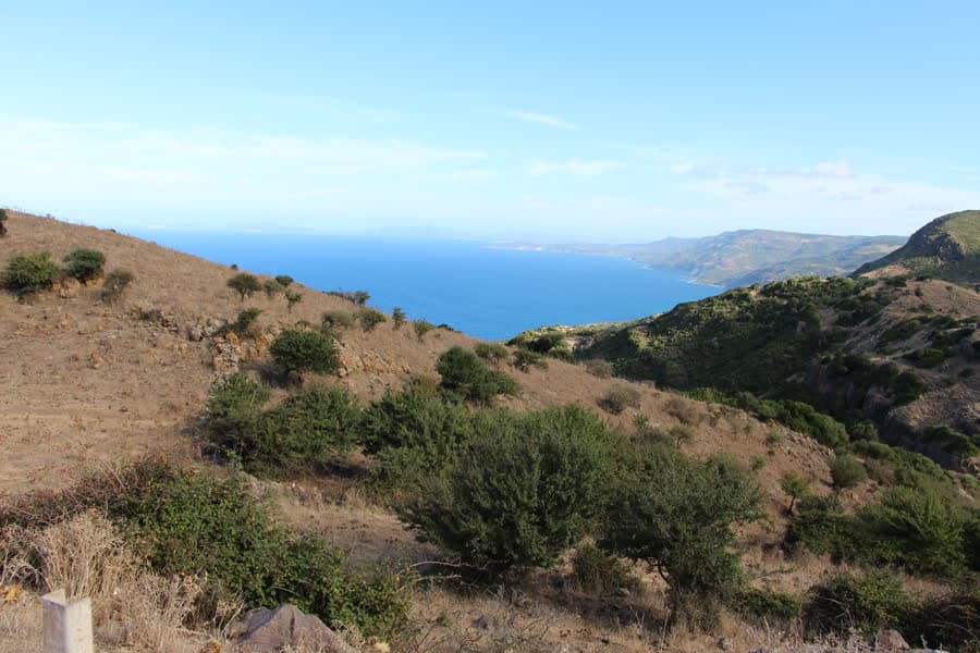
    Maquis-covered hills falling to the sea along the coast between Alghero and Bosa.
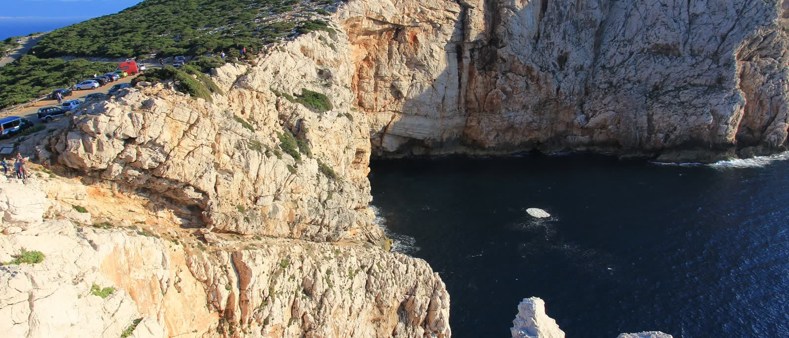
The limestone walls of Capo Caccia seen from above, with a cove at their foot.

Off the ground

Rock and air

The limestone that makes the cliffs makes the climbing. Capo Caccia has been bolted since the late 1980s and the routes run from beginner slabs to 8a; above them the wall goes on for another hundred and fifty metres. The ridge inland catches the same thermals the vultures use.

  • Sport climbing at Capo Caccia

    Casarotto · Placche di Peyer

    Regional park

    Where
    The Capo Caccia promontory, 24 km from town
    When
    October to May; the crag faces south-west
    What you need
    A 60 m rope, quickdraws and your own judgement

    Bolted limestone above the sea, first developed in the late 1980s. Casarotto is the sector people come for: routes of ten to thirty metres from 5b to 8a, the hard ones in a leaning cave and easier corners on the flanks. Placche di Peyer next door is technical slab climbing on concretioned rock. Access is free and unmanaged, but salt air eats fixed gear here — look at what you clip.

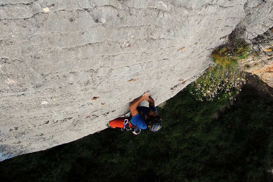
    A climber on a smooth overhanging limestone wall, seen from above.
  • Long routes above the water

    Placche Nord

    Regional park

    Where
    The north side of the Capo Caccia promontory
    When
    Spring and autumn, and not in a swell
    What you need
    Multi-pitch experience, or a guide if you have none

    North of the lighthouse the cliff runs on for a hundred and eighty metres, and the routes on the Placche Nord go most of the way up it — several pitches of grey limestone, with the two left-hand lines starting a few metres above the sea. It is committing ground: exposed, rarely busy, and the descent matters as much as the climbing does.

    A vertical limestone wall at Capo Caccia dropping straight into the sea.
  • Paragliding

    Where
    The ridge above La Siesta, about 6 km from town
    When
    When the wind is west or north-west
    What you need
    A tandem pilot, unless you already fly

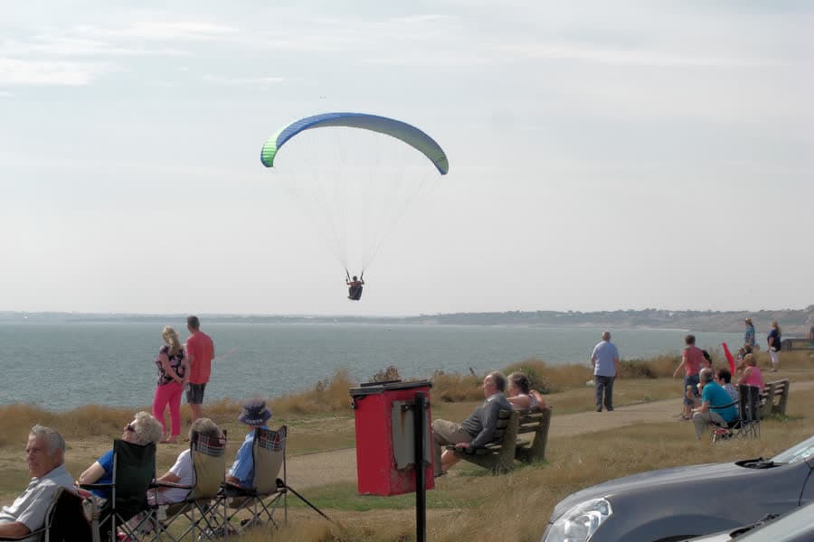
    The take-off above La Siesta faces west-north-west and is wide and forgiving, and the ridge it sits on runs the thirty kilometres towards Bosa — which is what makes this a long flight rather than a hop down to the beach. On a good day you are sharing the lift with the vultures, who are better at it.

    A paraglider flying along a coastal cliff, with people watching from the grass.
The wide bay of Porto Ferro with rust-coloured sand and dunes behind it.

Someone else provides

Hired by the hour

The first three groups are free and you organise them yourself. Everything here starts with paying somebody — a stable, a quad outfit, a car hire desk, a golf club — and it is also the shortest part of the page, because there is not much of it.

  • Riding at Baratz and Porto Ferro

    Where
    Around Sardinia's only natural lake, 20 km north
    When
    All year; mornings and evenings in summer
    What you need
    Nothing — the stables take complete beginners

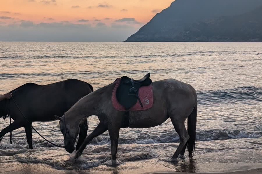
    The standard ride goes out from Lake Baratz, the only natural lake in Sardinia, through the pines and onto the dunes and dark sand of Porto Ferro. It is flat, the horses know the way, and stables run one- and two-hour outings with a short lesson first. Book a day ahead: they are outside town and work by appointment.

    Two saddled horses standing in the shallows at Porto Ferro at sunset.
  • Quad and 4×4 tours

    Where
    Dirt roads towards Porto Ferro and Cala Viola
    When
    All year, guided only
    What you need
    A category A, A1 or B licence to drive one yourself

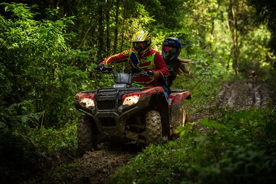
    Operators run half-day circuits of around 35 kilometres, most of it unsurfaced, out towards Porto Ferro and the coves at Cala Viola with a swim stop on the way. These are guided routes on tracks that are open to vehicles; leaving them on your own is both an offence inside the protected areas and, during the fire season, a serious one.

    Two people in helmets riding a quad along a forest track.
  • Golf

    Pitch & putt

    Where
    Arenosu, near Fertilia, 15 km from town
    When
    All year
    What you need
    Clubs and a booking; it is a short course

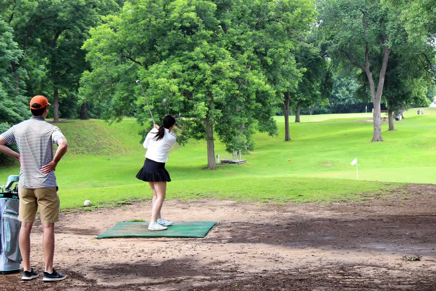
    Alghero's golf is one nine-hole pitch and putt at Arenosu, holes of 43 to 89 metres cut into the maquis, with a driving range beside it. It is a short game rather than a round — but it is a real course, and it hosted the Italian Pitch & Putt Championship in 2015. Sardinia's full-length courses are all on other coasts: Is Arenas near Oristano is 91 km away, Pevero at Porto Cervo 160 km, Is Molas south of Cagliari 237 km.

    Players on the tee of a short pitch and putt course among trees.

Four wheels

By car and by camper

Almost everything on this page needs a vehicle to reach, and two things are worth settling before you pick one up: the best road here is the slow one, and where you may sleep in a camper is decided by regional law rather than by the view.

  1. The coast road is the point

    The SP 105 south to Bosa is 45 kilometres and takes an hour and a quarter; the inland road covers the same trip in under an hour, which is exactly why nobody who came for the drive takes it. The coast road runs above the sea the whole way with nothing built on it, and there are pull-ins where the griffons pass at eye level. Two practical things: there is no fuel between the two towns, and the road is narrow and shared with cyclists.

  2. Campers sleep where the law says

    Sardinia settles this in one line. Article 22 of regional law 16/2017 bans camping — tent, caravan or motorhome — anywhere on the island outside an authorised campsite or equipped stopover, and the regional forest corps enforces it; coastal towns add their own summer ordinances on top. Around Alghero the pine belt between Fertilia and Maria Pia holds several campsites, there is an equipped camper area near Le Bombarde, and the paid car parks outside the walls take motorhomes during the day.

  3. The old town is closed to cars

    The whole walled centre is a limited-traffic zone with camera gates, all year round, and the opening times change by ordinance — check the town's own page rather than a map app. In practice you leave the car in the paid bays or a car park outside the walls and walk in; nothing inside the walls is more than a few minutes away.

Capo Marrargiu at dusk: a dark headland above a pale sea on the wild coast south of Alghero.

Eight day trips, with distances and driving times

SourcesCorpo forestale — L.R. 16/2017Comune di Alghero — ZTL

The camping rule is article 22 of Sardinian regional law 16/2017, as published by the regional forest corps; the limited-traffic zone from the Comune di Alghero. Checked on 3 September 2026.

The park

The forest they call Noah's Ark

Almost everything on this page happens inside one protected area: the Porto Conte regional park and the state forest within it. It is worth knowing what that is, because it explains both the animals and the rules.

State forest
2,136 ha
Separate blocks
4
Penal colony built
1939
Highest point
432 m

The forest is not one wood but four: Baratz, Punta Giglio, Capo Caccia and Monte Doglia, 2,136 hectares in all, managed by the regional forestry agency inside a park run through a special agency of the town of Alghero. The name Prigionette — the little prisons — comes from the penal colony built in the middle of it in 1939. The buildings are still there, and the park's headquarters at Casa Gioiosa is one of them.

Entry to the enclosed part of the forest is ticketed while the services are running, roughly 1 April to 31 October, and free the rest of the year; a few zones, including the foot of Monte Timidone and part of Cala Barca, open only with the forestry staff's agreement. From 1 June to 31 October the whole of Sardinia is under the high fire-risk period: no fires, no sparks, nothing burning out of a car window.

  1. Fallow deer

    Dama dama

    Reintroduced, and now common enough that you will probably see one standing still under the pines before it decides to move.

  2. Giara horse

    Equus caballus

    The small native horse of the Giara plateau in the south of the island, released here and living wild ever since.

  3. Asinara donkey

    Equus asinus

    The albino donkey of the island of Asinara, which has built a second free-living population in this forest.

  4. Griffon vulture

    Gyps fulvus

    The one that came back on its own: after twenty years with no nest in the park, pairs are breeding on these cliffs again.

SourcesSardegnaForesteParco di Porto Conte

Forest area, the four blocks and the reintroduced species from SardegnaForeste; the fire-risk period from the Sardinian regional fire prescriptions. Checked on 3 September 2026.
Questions

The short answers

When is the best time to walk here?

October to May. The maquis gives no shade, inland afternoons in summer run well past 30 °C, and from 1 June to 31 October the whole island is under the high fire-risk period. Spring is the best of it: everything is green and flowering, and it stays that way into early June.

Do I need a ticket for the park?

For the enclosed forest at Punta Giglio and Le Prigionette, yes — roughly from 1 April to 31 October, while the services are running; outside that period access is free. The coast paths, the crag and the roads cost nothing at any time of year.

Is the Via Ferrata del Cabirol open?

No. The mayor of Alghero closed the ferrata on the north side of Capo Caccia by ordinance in March 2018, after mountain guides raised questions about how it had been built and authorised, and part of the cable has since been taken down. Nothing has replaced it. The staircase down to the Neptune's Grotto — the Escala del Cabirol, 654 steps — is a different thing and is open.

Where can I hire a bike?

In town for road and city bikes, and at the park's own hub at Casa Gioiosa in Tramariglio for pedal-assist mountain bikes. The seafront path is flat enough for anything with two wheels; for the Bosa road, bring or hire gears.

Is there a golf course in Alghero?

One nine-hole pitch and putt at Arenosu, holes of 43 to 89 metres with a driving range — enough for a short game, not for a round of golf. The nearest full-length courses are Is Arenas near Oristano at 91 km, Pevero at Porto Cervo at 160 km and Is Molas south of Cagliari at 237 km.

Will I actually see the vultures?

Often, if you look up on the coast road towards Bosa. That stretch and Capo Caccia hold the only naturally surviving griffon colony in Italy, counted at 516 to 566 birds in 2025. Early morning and late afternoon, when the thermals are working, are the best of it.